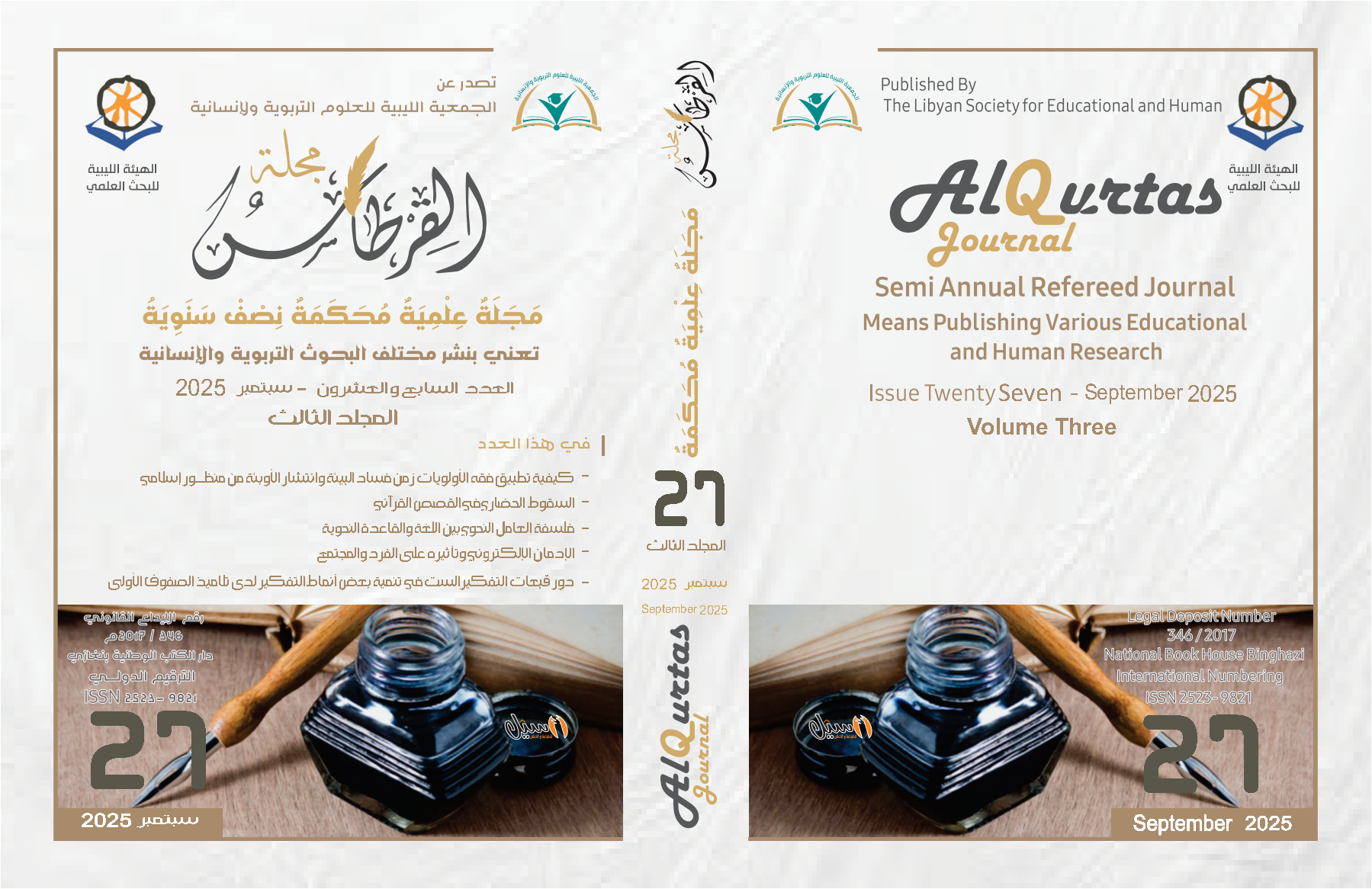
استخدام المؤشرات الطيفية في تحليل الغطاء النباتي والتوسع الحضري باستخدام تقنيات الاستشعار عن بعد في الفترة بين 2014-2024 منطقة صبراتة أنموذجا
Contenu principal de l'article
Résumé
استخدام المؤشرات الطيفية في تحليل الغطاء النباتي والتوسع الحضري باستخدام تقنيات الاستشعار عن بعد في الفترة بين 2014-2024 منطقة صبراتة أنموذجا
Téléchargements
Les données relatives au téléchargement ne sont pas encore disponibles.
Renseignements sur l'article
Comment citer
بن الحاج انيس عبد الرزاق صالح. 2025. « استخدام المؤشرات الطيفية في تحليل الغطاء النباتي والتوسع الحضري باستخدام تقنيات الاستشعار عن بعد في الفترة بين 2014-2024 منطقة صبراتة أنموذجا ». Al-Qurtas Magazine 3 (27). https://alqurtas.alandalus-libya.org.ly/ojs/index.php/qjhar/article/view/1386.
Rubrique
المقالات

Cette œuvre est sous licence Creative Commons Attribution - Pas d'Utilisation Commerciale 4.0 International.
